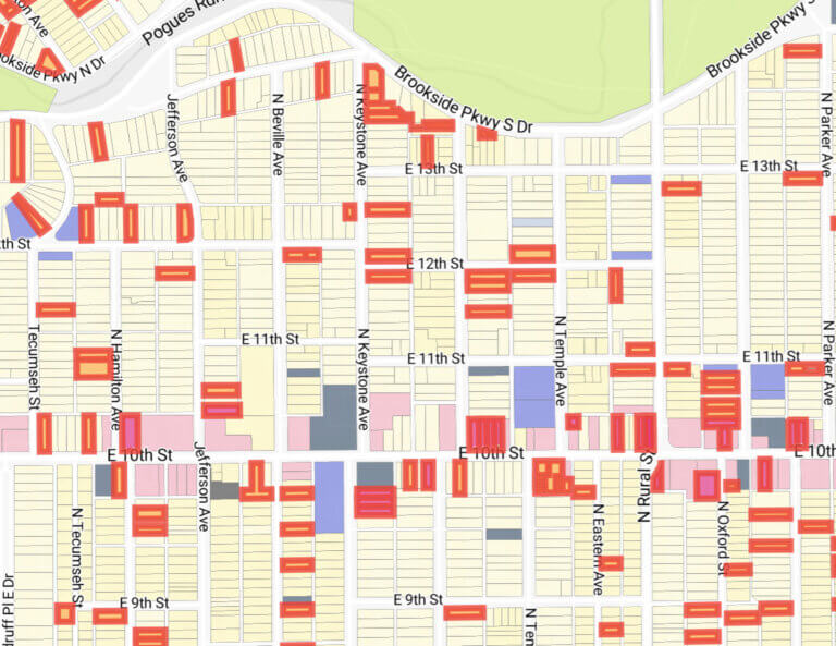
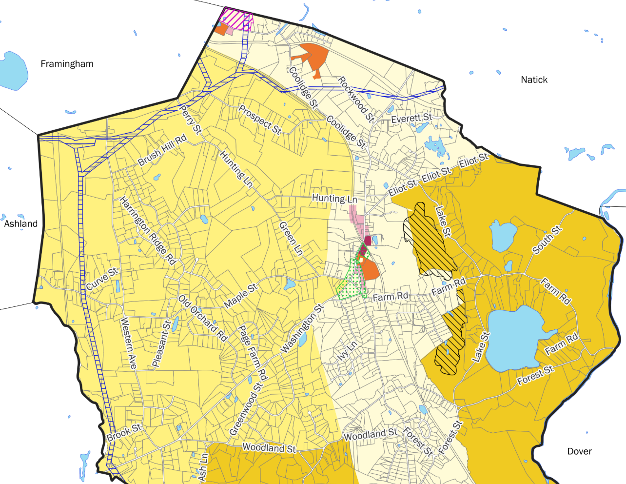
CommunityScale supported the Town of Sherborn compliance with Massachusetts’ MBTA Communities zoning mandate with a multifamily zoning overlay. CommunityScale created an overlay map, authored compliant zoning language, managed communications with staff and boards, and prepared the state’s capacity calculator and GIS shapefiles.
Using the state’s compliance model, we built three mapping scenarios and presented them at a June community workshop. By the end of the evening an emerging consensus favored a compact district that followed parcel lines, included half of the Kendall Avenue right-of-way, and avoided flood-prone acreage along the Charles River headwaters.
The zoning text embeds the fifteen-unit-per-acre requirement. Importantly, CommunityScale created a density protection clause that states that no other by-law could be interpreted to reduce base density, and it empowered the Planning Board to waive conflicting standards.